

Garmin Navionics+™ NSUS011R Canada North - 010-C1454-20
Garmin Navionics+™ NSUS011R Canada North - 010-C1454-20 is backordered and will ship as soon as it is back in stock.
Estimated Shipping Widget will be displayed here! (with custom color)
Authorized dealer
Authorized dealer
Your #1 trusted source for Garmin products.
Shipping info
Shipping info
Most orders are processed and shipped from our USA warehouse within 1 to 3 business days of an order being placed (excluding weekends and holidays).
If, in the case, the item has a different handling and/or shipping estimate, it will be clearly displayed under the Add to cart button.
Returns info
Returns info
Eligible for returns: Yes
Time frame allotted: 30 days from the date of delivery
*Item(s) must be in new and unused condition to be eligible
To learn how to request a return please visit our return & refund policy:

Need assistance? We're happy to help!
 Call us
Description
Description
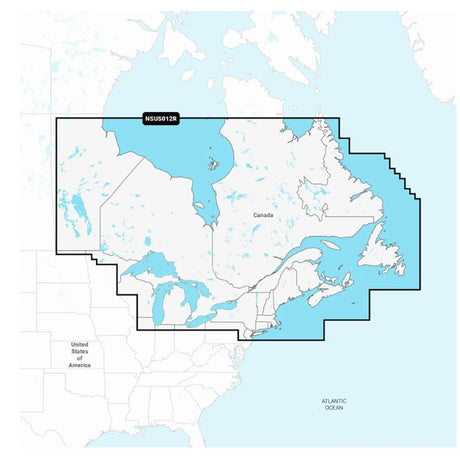
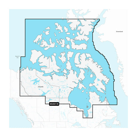
Navionics+™ NSUS011R Canada North
Featuring vibrant colors, a streamlined interface, and combined coastal/inland content with a popular Navionics® style color palette, Garmin Navionics+ cartography makes it easy to plot courses with the world’s No. 1 name in marine mapping.
- microSD™/SD™ format
- Navigate with the best offshore and inland lake coverage for a Garmin chartplotter
- Customize the view with various chart layers and overlay combinations
- With the included one-year subscription, access daily updates via the ActiveCaptain® smart-device app
- Auto Guidance+™ technology2 lets users navigate with suggested dock-to-dock routings
- Select up to 10 color-shaded target depth ranges to scope out the best fishing spots
- Save money by renewing the subscription — and continue accessing daily updates plus new content downloads
Coverage
Coverage of northern, coastal, and inland Canada, including the Northwest Territories, Nunavut, and northern Quebec. Includes major bodies of water such as Hudson Bay, Hudson Strait, Northwestern Passage, and inland lakes.
All-In-One Map Solution for Garmin Chartplotters
Access detail-rich mapping of coastal features, lakes, rivers, and more. Integrated Garmin and Navionics® content offers coverage for boaters worldwide.
Daily Chart Updates
Charts are constantly being enhanced with new and amended content — as many as 5,000 updates are made every day. The one-year subscription includes access to daily chart updates via the ActiveCaptain app.
Auto Guidance+ Technology
Combining the best of Garmin and Navionics automatic routing features, built-in Auto Guidance+ technology2 gives users a suggested dock-to-dock path to follow through channels, inlets, marina entrances, and more.
Depth Range Shading
High-resolution depth range shading lets users select up to 10 color-shaded options and view the designated target depths at a glance.
Up to 1’ Contours
For improved fishing and navigation, up to 1' contours provide a clear depiction of bottom structure for improved fishing charts and enhanced detail in swamps, canals, harbors, marinas, and more.
Shallow Water Shading
To give a clear picture of shallow waters to avoid, this feature allows for shading at a user-defined depth.
ActiveCaptain Community
Community-sourced content provides useful POIs, such as marinas, anchorages, hazards, businesses, and more. Get recommendations from boaters with firsthand experience of the local environment.
1Auto Guidance+ is for planning purposes only and does not replace safe navigation operations
Product : GARMIN NAVIONICS+ NSUS011R CANADA NORTH
Manufacturer : Garmin
Manufacturer Part No : 010-C1454-20
Product : GARMIN NAVIONICS+ NSUS011R CANADA NORTH
Videos
Video 1
Payment & Security
Payment methods
Your payment information is processed securely. We do not store credit card details nor have access to your credit card information.
More from Garmin
View all-
 Free shippingSold out
 -
 Free shippingUp to $210.00 off
Garmin
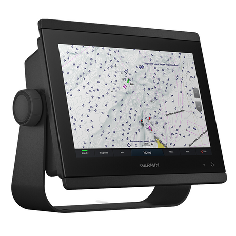
Garmin GPSMAP® 943 Chartplotter GN+ Non-Sonar With U.S. and Canada Mapping Navionics+ - 010-02366-60
$1,399.99$1,609.99Unit price /UnavailableLow stock (13 units) -
Free shippingUp to $63.00 off
Garmin
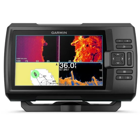
Garmin Striker Vivid 7cv 7" Fishfinder GPS Track Plotter With GT20 - 010-02552-00
$419.99$482.99Unit price /UnavailableIn stock -
Free shippingUp to $450.00 off
Garmin
Garmin GPSMAP® 1223xsv Combo GPS/Fishfinder - Worldwide - 010-02367-02
$2,999.99$3,449.99Unit price /UnavailableLow stock (10 units) -
Free shippingSold out
Garmin
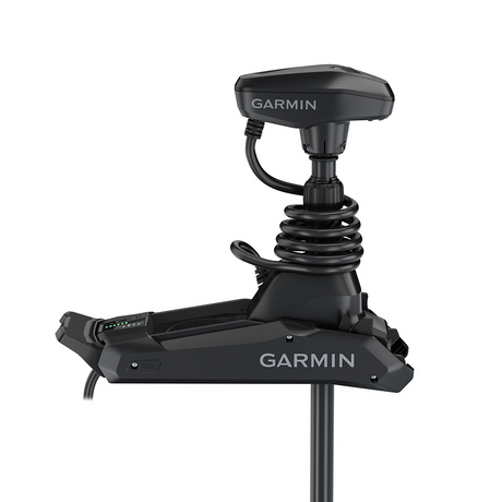
Garmin Force® Kraken Trolling Motor - 63" - Black with GT56UHD Transducer - 010-02573-00
$3,699.99$4,254.99Unit price /Unavailable -
Free shippingUp to $405.00 off
Garmin
Garmin GPSMAP® 8410xsv 10" Chartplotter/Sounder Combo with Worldwide Basemap - 010-02091-02
$2,699.99$3,104.99Unit price /UnavailableVery low stock (3 units) -
Free shippingSold out
Garmin
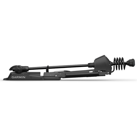
Garmin Force™ Freshwater Trolling Motor - 50" - 010-02024-00
$3,549.99$4,082.99Unit price /Unavailable -
Free shippingUp to $330.00 off
Garmin
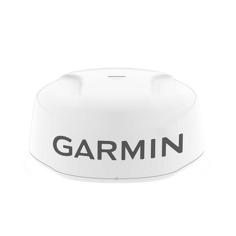
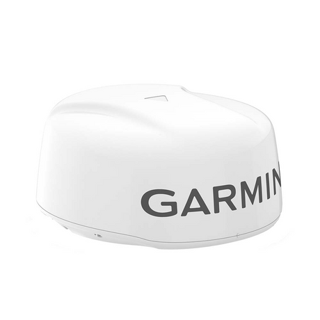
Garmin GMR Fantom™ 18x Dome Radar - White - 010-02584-00
$2,199.99$2,529.99Unit price /UnavailableVery low stock (8 units) -
Free shippingUp to $78.00 off
Garmin
Garmin Striker Vivid 7sv 7"" Fishfinder Gps Track Plotter With Gt52 - 010-02553-00
$519.99$597.99Unit price /UnavailableLow stock (15 units) -
 Free shippingUp to $180.00 off
Garmin
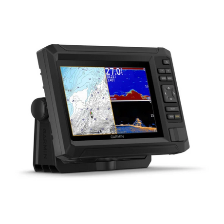
Garmin Echomap UHD2 93sv Us Lakes And Rivers GN+ With Gt56 Transducer - 010-02688-01
$1,199.99$1,379.99Unit price /UnavailableIn stock -
Free shippingUp to $450.00 off
Garmin
Garmin GPSMAP® 1243xsv Combo GPS/Fishfinder GN+ - 010-02367-61
$2,999.99$3,449.99Unit price /UnavailableIn stock -
Free shippingUp to $90.00 off
Garmin
$599.99$689.99Unit price /UnavailableVery low stock (7 units) -
Free shippingUp to $540.00 off
Garmin
Garmin GPSMAP® 8612 Chartplotter GN+ - 010-02092-50
$3,599.99$4,139.99Unit price /UnavailableLow stock (11 units) -
Free shippingSold out
Garmin
Garmin GPSMAP® 723xsv Combo GPS/Fishfinder w/GMR 18HD+ Radar - 010-02365-50
$1,593.99$2,599.99Unit price /Unavailable -
 Free shippingSold out
Garmin
Garmin Echomap Ultra 2 106sv Livescope Plus Bundle With Gt56uhd-tm Transducer - 010-02880-01LSP
$3,999.98$4,599.99Unit price /Unavailable -
Free shippingSold out
Garmin
Garmin Echomap Ultra 2 106sv Livescope Plus Bundle No Transducer - 010-02880-00LSP
$3,599.98$4,139.99Unit price /Unavailable -
Free shippingSold out
Garmin
Garmin Echomap Ultra 2 126sv Livescope Plus Bundle No Transducer - 010-02882-00LSP
$4,399.98$5,059.99Unit price /Unavailable -
Free shippingSold out
Garmin
Garmin ECHOMAP Ultra 2 126sv LIVESCOPE Plus Bundle with GT56UHD-TM Transducer - 010-02882-01LSP
$4,799.98$5,519.99Unit price /Unavailable -
Free shippingSold out
Garmin
Garmin Echomap Ultra 2 122sv Livescope Plus Bundle With Gt56uhd-tm Transducer - 010-02881-01LSP
$4,799.98$5,519.99Unit price /Unavailable -
Free shippingSold out
Garmin
$3,999.98$4,599.99Unit price /Unavailable -
Free shippingUp to $19.00 off
Garmin
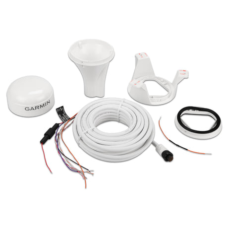
Garmin GPS 19x HVS NMEA 0183 - 010-01010-00
$180.99$199.99Unit price /UnavailableVery low stock (1 unit) -
Free shippingUp to $158.00 off
Garmin
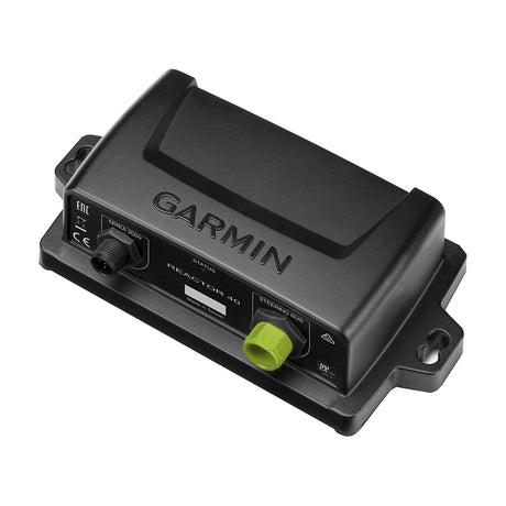
Garmin Course Computer Unit - Reactor™ 40 - 010-11052-67
$1,049.99$1,207.99Unit price /UnavailableVery low stock (8 units) -
Free shippingUp to $390.00 off
Garmin
Garmin Course Computer Unit - Reactor™ 40 Steer-by-wire - 010-11052-65
$2,599.99$2,989.99Unit price /UnavailableVery low stock (3 units) -
Free shippingUp to $1,420.00 off
Garmin
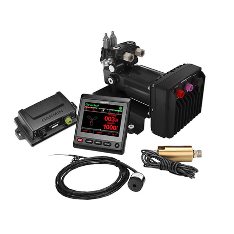
Garmin Reactor™ 40 Hydraulic Autopilot w/SmartPump v2 & GHC™ 20 Display - 010-00705-79
$2,779.99$4,199.99Unit price /UnavailableVery low stock (1 unit)


More Marine - Cartography - Garmin Navionics+
View all-
Free shippingUp to $17.00 off
Garmin
Garmin Navionics+™ NSUS012R Canada, East & Great Lakes - 010-C1484-20
$132.99$149.99Unit price /UnavailableIn stock -
Free shippingUp to $17.00 off
Garmin
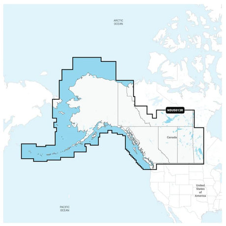
Garmin Navionics+™ NSUS013R Canada, West & Alaska - 010-C1485-20
$132.99$149.99Unit price /UnavailableIn stock -
Free shippingSold out
Garmin
Garmin Navionics+™ NSUS011R Canada North - 010-C1454-20
$138.99$149.99Unit price /Unavailable -
Free shippingUp to $17.00 off
-
Free shippingSold out
Garmin
$138.99$149.99Unit price /Unavailable -
Free shippingUp to $17.00 off
-
Free shippingUp to $17.00 off
-
Free shippingUp to $17.00 off
-
Free shippingUp to $17.00 off
-
Free shippingUp to $25.00 off
Garmin
Garmin Navionics+ NSUS001L US & Coastal Canada - 010-C1287-20
$174.99$199.99Unit price /UnavailableIn stock


Let customers speak for us

Quick response, will need more products in the near future

I like the simple design. Works well

does the job well

Extremely simple to install and assemble.

Works much better than expected. Bit tricky to maneuver, but does a great job overall.

This is definitely big and heavy but gets the job done. Finally got one, and it paid off after just a few stumps.

looks awesome with lifelike flames, runs all day, every day, and adds style without gobbling up electricity.

It's light, steady, and a blast to use.

Thinking about grabbing a couple more and maybe a solar charging setup.
Works better than expected, and assembly was simple.

Very satisfied with the boat 😊

chipper was easy to assemble and sturdy. exactly what i needed for clearing trees. just wish i had more time to use it!

Met expectations, very satisfied with performance.

Works as expected 🙂
Absolutely fantastic! Turned a mountain of branches into mulch in no time.
