

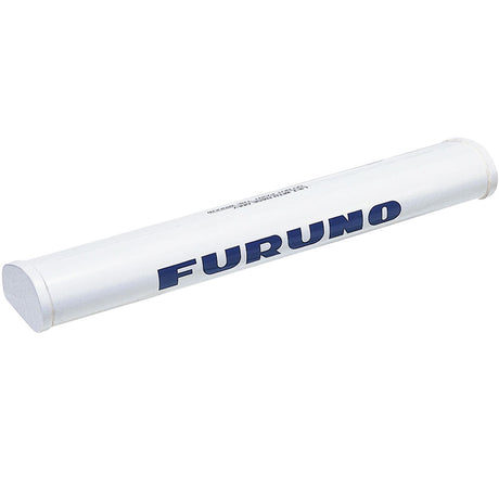
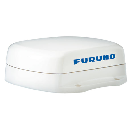
Furuno SC70 Satellite Compass w/o Cable
Furuno SC70 Satellite Compass w/o Cable is backordered and will ship as soon as it is back in stock.
Estimated Shipping Widget will be displayed here! (with custom color)
Authorized dealer
Authorized dealer
Your #1 trusted source for Furuno products.
Shipping info
Shipping info
Most orders are processed and shipped from our USA warehouse within 1 to 3 business days of an order being placed (excluding weekends and holidays).
If, in the case, the item has a different handling and/or shipping estimate, it will be clearly displayed under the Add to cart button.
Returns info
Returns info
Eligible for returns: No
Purchases of this product are final and not eligible for return, refund, or exchange. Should you encounter any issues or concerns related to the product, we recommend reaching out to the manufacturer directly for assistance.

Need assistance? We're happy to help!
 Call us
Furuno SC70 Satellite Compass w/o Cable
Description
Description
SC70 Satellite Compass w/o Cable
The SC70 is the latest satellite compass built on FURUNO’s commercial-grade technology platform. These satellite compasses prove their value by increasing the accuracy of other devices, such as Radar, ARPA, Scanning Sonar, Current Indicator, Chart Plotter, ECDIS and Autopilots. They provide a highly accurate heading input to these other technologies by utilizing the very latest GNSS (Global Navigation Satellite System). This satellite system is comprised of GPS, Galileo and GLONASS to ensure the highest precision and a continuous coverage.
The SC70 provides a variety of data, including GPS Positioning, SOG (Speed Over Ground), COG (Course Over Ground), ROT (Rate Of Turn) and 3-axis speed (bow, stern and longitudinal). All of these data assist with critical maneuvers, such as berthing. The compasses is maintenance free - a great asset for any vessel.
Consists Of:
- SC701 - Junction box for SC70/SC130
- SC702 - Display unit for SC70/SC130
- SC703 - ANT 2GPS/ANG/ACCEL/MGNT SNSR
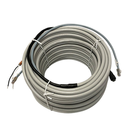
Note: The SC70 and SC130 are sold without an antenna cable.
Standard Features:
- Provides highly accurate heading data of 0.4° for autopilot, Radar, ARPA, Scanning Sonar, Current Indicator, Chart Plotter, ECDIS and Autopilots
- Ideal for small to medium boats requiring highly accurate heading
- Utilizes GNSS such as GPS, Galileo and GLONASS for high Precision
- SBAS compatible (EGNOS,WAAS,MSAS)
- Provide precise data for SOG, COG, ROT and L/L
- Eliminating the problem of not having enough satellites at hand by using multiple types of satellites
- Speed on 3 axis (bow, stern and longitudinal) for safe navigating and berthing
- IMO Type-approved as THD, GPS and ROTI. Complying with the IEC, ISO requirements
- Easily integrated into the existing shipboard network via Ethernet
- Rapid follow-up rate 40°/s (twice the IMO high speed craft requirement, 20°/s)
- Maintenance free and no recurring cost as there are no mechanical parts
- Super short starting time - 90 seconds
- Once the power is on, it takes about 90 seconds to start (the starting time will slightly differ depending on the equipment location)
- Easy to retrofit by using existing antenna cabling for SC-50/55/60/110/120. (The LAN_CNV option kit is necessary)
- Precision pitch/roll data in Analog and Digital formats for vessel stabilization, Sonar, etc.
Manufacturer : Furuno
Manufacturer Part No : SC70
Documentation

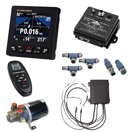
Optional Accessories
Optional Accessories
Click on any accessory below to view the full details and add it to your cart

Payment & Security
Payment methods
Your payment information is processed securely. We do not store credit card details nor have access to your credit card information.
More from Furuno
View all-
 Free shippingSold out
 -
Free shippingUp to $1,019.99 off
Furuno
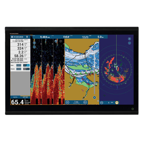
Furuno 19" Color LCD Marine Monitor - MU192HD
$6,795.00$7,814.99Unit price /UnavailableVery low stock (1 unit) -
Free shippingUp to $869.99 off
Furuno
Furuno 15" Color LCD Marine Monitor - MU152HD
$5,795.00$6,664.99Unit price /UnavailableVery low stock (1 unit) -
Free shippingUp to $111.99 off
-
Free shippingSold out
-
Free shippingSold out
Furuno
Furuno NavPilot 711C/OB-OPT f/SeaStar Optimus - NAVPILOT 711C/OB-OPT
$2,795.00$3,214.99Unit price /Unavailable -
Free shippingUp to $614.99 off
Furuno
Furuno NavPilot 711C/OB-HM f/Yamaha HelmMaster - NAVPILOT 711C/OB-HM
$4,095.00$4,709.99Unit price /UnavailableVery low stock (2 units) -
Free shippingUp to $72.00 off
Furuno
Furuno PUMPOCT10-12 Pump f/Rams 7-12 Cubic Inches In Volume
$473.99$545.99Unit price /UnavailableVery low stock (1 unit) -
Free shippingSold out
-
Free shippingUp to $134.99 off
-
Free shippingUp to $224.99 off
-
Free shippingUp to $24.01 off
Furuno
Furuno 15M Radar Cable Assembly f/DRS2/4/6/12 - 001-341-680-00
$345.99$370.00Unit price /UnavailableVery low stock (1 unit) -
Free shippingSold out
-
Free shippingUp to $10.01 off
Furuno
Furuno 20M Power Cable f/DRS4 - 001-266-020-00
$219.99$230.00Unit price /UnavailableVery low stock (2 units) -
Free shippingUp to $104.99 off
Furuno
Furuno FM4800 VHF Radio w/AIS, GPS & Loudhailer
$695.00$799.99Unit price /UnavailableVery low stock (1 unit) -
Free shippingUp to $127.99 off
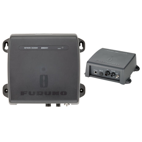
Furuno
Furuno BBDS1 Black Box Sounder Module
$850.00$977.99Unit price /UnavailableVery low stock (3 units) -
Free shippingUp to $134.99 off
Furuno
Furuno 3.5' Open Array Antenna - XN10A/3.5
$895.00$1,029.99Unit price /UnavailableVery low stock (2 units) -
Free shippingSold out
-
Free shippingUp to $119.99 off
Furuno
Furuno FM4850 Black Box VHF Radio w/GPS, AIS, DSC & Loudhailer
$795.00$914.99Unit price /UnavailableVery low stock (5 units) -
Free shippingSold out
Furuno
Furuno 1945 6kW 4' Open Array 10.4" Color LCD Radar
$6,995.00$8,044.99Unit price /Unavailable -
Free shippingSold out
-
Free shippingSold out
Furuno
Furuno NavNet TZtouch2 15.6" MFD Chart Plotter/Fish Finder - TZTL15F
$3,795.00$4,364.99Unit price /Unavailable -
Free shippingUp to $209.99 off
Furuno
Furuno SCX20 Satellite Compass - NMEA 2000
$1,395.00$1,604.99Unit price /UnavailableLow stock (11 units) -
Free shippingUp to $389.99 off
Furuno
Furuno NavPilot 300 w/Octopus 1.6L Pump - NAVPILOT 300/PG-M
$2,595.00$2,984.99Unit price /UnavailableVery low stock (1 unit)


More Marine Navigation & Instruments - Compasses
View all-
Free shippingUp to $489.01 off
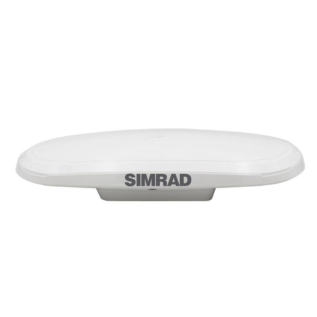
Simrad
Simrd HS75 Compass GNSS - 000-16143-001
$2,200.99$2,690.00Unit price /UnavailableVery low stock (3 units) -
Free shippingUp to $10.00 off
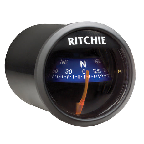
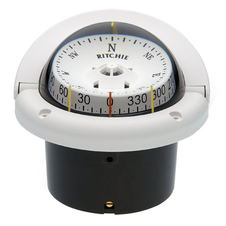
Ritchie
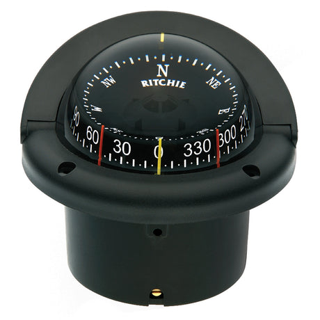
Ritchie X-23BB RitchieSport Compass - Dash Mount - Black/Black
$61.99$71.99Unit price /UnavailableVery low stock (5 units) -
Free shippingUp to $10.00 off
Ritchie
Ritchie X-23WW RitchieSport Compass - Dash Mount - White/Black
$61.99$71.99Unit price /UnavailableVery low stock (3 units) -
Free shippingUp to $10.00 off
Ritchie
Ritchie X-23BU RitchieSport Compass - Dash Mount - Black/Blue
$61.99$71.99Unit price /UnavailableVery low stock (3 units) -
Free shippingUp to $87.00 off
Garmin
Garmin 9-Axis Heading Sensor - 010-11417-20
$562.99$649.99Unit price /UnavailableVery low stock (2 units) -
Free shippingUp to $209.99 off
Furuno
Furuno SCX20 Satellite Compass - NMEA 2000
$1,395.00$1,604.99Unit price /UnavailableLow stock (11 units) -
Free shippingUp to $749.99 off
Furuno
Furuno SC70 Satellite Compass w/o Cable
$4,995.00$5,744.99Unit price /UnavailableVery low stock (5 units) -
Free shippingUp to $1,499.99 off
Furuno
Furuno SC130 Satelite Compass w/Display
$9,995.00$11,494.99Unit price /UnavailableVery low stock (2 units) -
Free shippingUp to $374.99 off
Furuno
Furuno SC33 Compact Dome Satellite Compass, NMEA2000 (0.4° Heading Accuracy) w/6M Cable
$2,495.00$2,869.99Unit price /UnavailableVery low stock (2 units) -
Free shippingUp to $209.99 off
Furuno
Furuno SCX21 Satellite Compass - NMEA 0183
$1,395.00$1,604.99Unit price /UnavailableLow stock (9 units) -
Free shippingUp to $6.00 off
Ritchie
Ritchie H-741-C Helmsman & SuperSport Compass Cover - 2004 to Present - White
$39.99$45.99Unit price /UnavailableLow stock (10 units) -
Free shippingSold out
Ritchie
Ritchie X-21BU RitchieSport Compass - Dash Mount - Black/Blue
$55.99$60.34Unit price /Unavailable -
Free shippingUp to $23.00 off
Raymarine
Raymarine Wireless Micro Compass System w/Strap Bracket - T061
$476.99$499.99Unit price /UnavailableVery low stock (8 units) -
Free shippingUp to $15.00 off
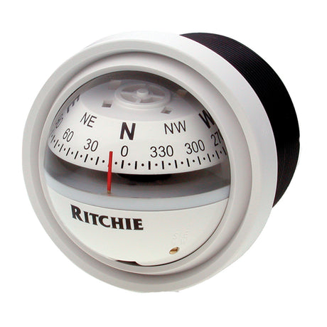
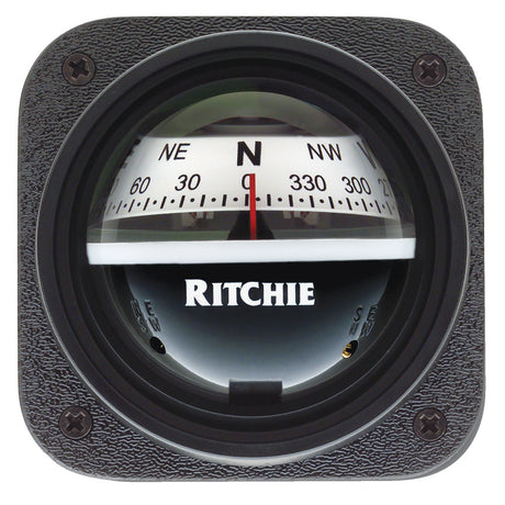
Ritchie
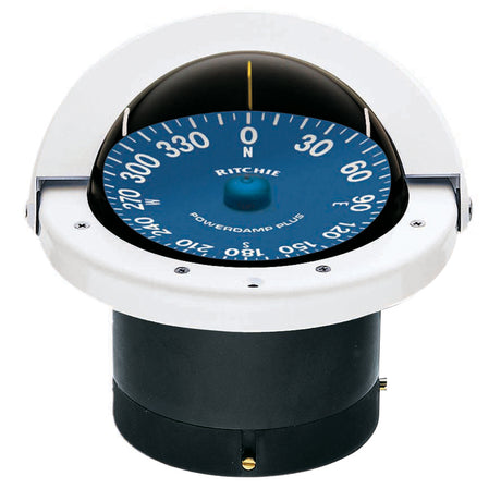
Ritchie V-57W.2 Explorer Compass - Dash Mount - White
$95.99$110.99Unit price /UnavailableLow stock (10 units) -
Free shippingUp to $2.57 off
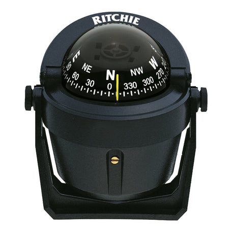
Ritchie
Ritchie B-51 Explorer Compass - Bracket Mount - Black
$89.99$92.56Unit price /UnavailableVery low stock (8 units) -
Free shippingUp to $0.13 off
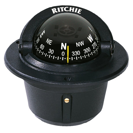
Ritchie
Ritchie F-50 Explorer Compass - Flush Mount - Black
$93.99$94.12Unit price /UnavailableLow stock (9 units) -
Free shippingUp to $4.00 off
Ritchie
Ritchie Helmsman Adapter Kit - Black - H-ABLK
$21.99$25.99Unit price /UnavailableVery low stock (7 units) -
Free shippingUp to $15.00 off
Ritchie
Ritchie V-537B Explorer Compass - Bulkhead Mount - Blue Dial
$99.99$114.99Unit price /UnavailableLow stock (10 units) -
Free shippingUp to $60.39 off
Ritchie
Ritchie FN-201 Navigator Compass - Flush Mount - Black
$412.99$473.38Unit price /UnavailableVery low stock (2 units) -
Free shippingUp to $30.53 off
Ritchie
Ritchie HF-743W Helmsman Compass - Flush Mount - White
$254.99$285.52Unit price /UnavailableVery low stock (6 units) -
Free shippingUp to $15.00 off
Ritchie
Ritchie V-537W Explorer Compass - Bulkhead Mount - White Dial
$99.99$114.99Unit price /UnavailableVery low stock (8 units) -
Free shippingUp to $30.53 off
Ritchie
Ritchie HF-743 Helmsman Combidial Compass - Flush Mount - Black
$254.99$285.52Unit price /UnavailableLow stock (11 units) -
Free shippingSold out
Ritchie
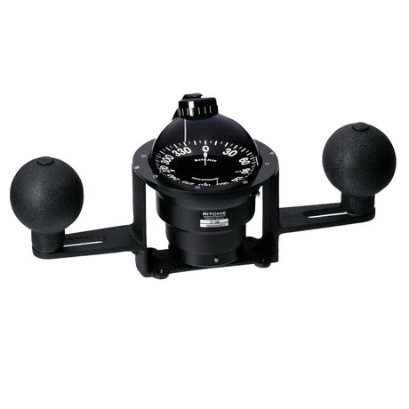
Ritchie YB-500 Globemaster Compass - Yoke Mounted - Black - 5 Degree card - 12V
$1,319.99$1,476.76Unit price /Unavailable -
Free shippingUp to $73.93 off
Ritchie
Ritchie SS-2000W SuperSport Compass - Flush Mount - White
$486.99$560.92Unit price /UnavailableVery low stock (4 units)


Let customers speak for us

Quick response, will need more products in the near future

I like the simple design. Works well

does the job well

Extremely simple to install and assemble.

Works much better than expected. Bit tricky to maneuver, but does a great job overall.

This is definitely big and heavy but gets the job done. Finally got one, and it paid off after just a few stumps.

looks awesome with lifelike flames, runs all day, every day, and adds style without gobbling up electricity.

It's light, steady, and a blast to use.

Thinking about grabbing a couple more and maybe a solar charging setup.
Works better than expected, and assembly was simple.

Very satisfied with the boat 😊

chipper was easy to assemble and sturdy. exactly what i needed for clearing trees. just wish i had more time to use it!

Met expectations, very satisfied with performance.

Works as expected 🙂
Absolutely fantastic! Turned a mountain of branches into mulch in no time.
