C-MAP MAX NA-M026 - Great Lakes & The Maritimes - SD™ Card - NA-M026SDCARD
C-MAP MAX NA-M026 - Great Lakes & The Maritimes - SD™ Card - NA-M026SDCARD is backordered and will ship as soon as it is back in stock.
Estimated Shipping Widget will be displayed here!
Authorized dealer
Authorized dealer
Your #1 trusted source for C-MAP products.
Shipping info
Shipping info
Most orders are processed and shipped from our USA warehouse within 1 to 3 business days of an order being placed (excluding weekends and holidays).
If, in the case, the item has a different handling and/or shipping estimate, it will be clearly displayed under the Add to cart button.
Returns info
Returns info
Eligible for returns: No
Purchases of this product are final and not eligible for return, refund, or exchange. Should you encounter any issues or concerns related to the product, we recommend reaching out to the manufacturer directly for assistance.

Need assistance? We're happy to help!
Description
Description
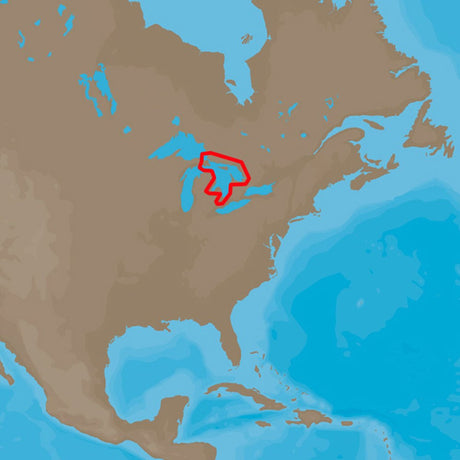
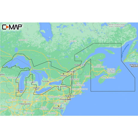
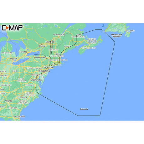
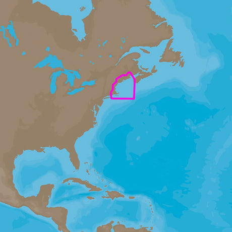
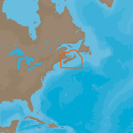
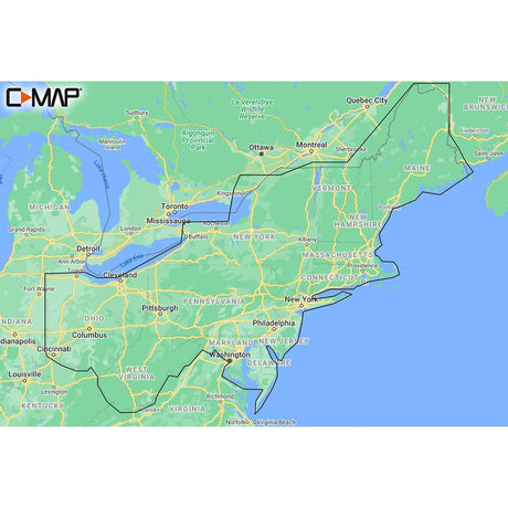
Coverage of the Great Lakes, St. Lawrence River and Northeast United States. Coverage of the Great Lakes also includes Fox River and Lake Winnebago, Lake St. Clair, Rideau Canal, Ottawa River and the Trent-Severn Waterway. Includes all coastal charts for New Brunswick and Nova Scotia in Canada and Maine, New Hampshire, Massachusetts, Connecticut and New York in the U.S. Also included is coverage of the Hudson River and Lake Champlain as well as the Erie Barge Canal.This product may not be returned to the original point of purchase. Please contact the manufacturer directly with any issues or concerns.
Manufacturer : C-MAP
Manufacturer Part No : NA-M026SDCARD
Documentation
Specifications
Specifications
| Specification | Unit |
|---|---|
| Card Format | SD |
Payment & Security
Payment methods
Your payment information is processed securely. We do not store credit card details nor have access to your credit card information.


 Call us