

Furuno US & Canada Pacific Coast, Hawaii, Alaska, Mexico to Panama - C-MAP Mega Wide Chart - MM3-VNA-035
Furuno US & Canada Pacific Coast, Hawaii, Alaska, Mexico to Panama - C-MAP Mega Wide Chart - MM3-VNA-035 is backordered and will ship as soon as it is back in stock.
Estimated Shipping Widget will be displayed here! (with custom color)
Authorized dealer
Authorized dealer
Your #1 trusted source for Furuno products.
Shipping info
Shipping info
Most orders are processed and shipped from our USA warehouse within 1 to 3 business days of an order being placed (excluding weekends and holidays).
If, in the case, the item has a different handling and/or shipping estimate, it will be clearly displayed under the Add to cart button.
Returns info
Returns info
Eligible for returns: Yes
Time frame allotted: 30 days from the date of delivery
*Item(s) must be in new and unused condition to be eligible
To learn how to request a return please visit our return & refund policy:

Need assistance? We're happy to help!
 Call us
Description
Description
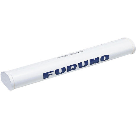
US & Canada Pacific Coast, Hawaii, Alaska, Mexico to Panama - C-MAP Mega Wide Chart
C-MAP Mega Wide Chart - U.S. & Canada Pacific Coast, Hawaii, Alaska, Mexico to Panama. Vector charts, 3D data & standard resolution satellite photos.
This Chart Pack includes vector charts, 3D data and standard resolution satellite photography for the US and Canadian Pacific Coast, Hawaii, Alaska, and Mexico to Panama. C-MAP chart data is used and converted to the TimeZero format.
These C-MAP charts are comprised of the same cartographic chart information found in C-MAP MAX and C-MAP MAX PRO charts.
Manufacturer : Furuno
Manufacturer Part No : MM3-VNA-035
Payment & Security
Payment methods
Your payment information is processed securely. We do not store credit card details nor have access to your credit card information.
More from Furuno
View all-
 Free shippingSold out
 -
Free shippingUp to $1,019.99 off
Furuno
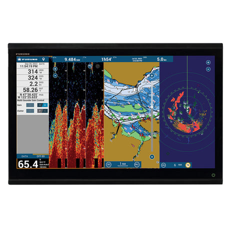
Furuno 19" Color LCD Marine Monitor - MU192HD
$6,795.00$7,814.99Unit price /UnavailableVery low stock (1 unit) -
Free shippingUp to $869.99 off
Furuno
Furuno 15" Color LCD Marine Monitor - MU152HD
$5,795.00$6,664.99Unit price /UnavailableVery low stock (1 unit) -
Free shippingUp to $111.99 off
-
Free shippingSold out
-
Free shippingSold out
Furuno
Furuno NavPilot 711C/OB-OPT f/SeaStar Optimus - NAVPILOT 711C/OB-OPT
$2,795.00$3,214.99Unit price /Unavailable -
Free shippingUp to $614.99 off
Furuno
Furuno NavPilot 711C/OB-HM f/Yamaha HelmMaster - NAVPILOT 711C/OB-HM
$4,095.00$4,709.99Unit price /UnavailableVery low stock (2 units) -
Free shippingUp to $72.00 off
Furuno
Furuno PUMPOCT10-12 Pump f/Rams 7-12 Cubic Inches In Volume
$473.99$545.99Unit price /UnavailableVery low stock (1 unit) -
Free shippingSold out
-
Free shippingUp to $134.99 off
-
Free shippingUp to $224.99 off
-
Free shippingUp to $24.01 off
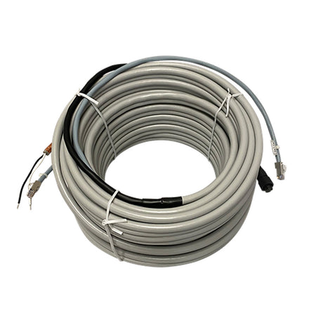
Furuno
Furuno 15M Radar Cable Assembly f/DRS2/4/6/12 - 001-341-680-00
$345.99$370.00Unit price /UnavailableVery low stock (1 unit) -
Free shippingSold out
-
Free shippingUp to $10.01 off
Furuno
Furuno 20M Power Cable f/DRS4 - 001-266-020-00
$219.99$230.00Unit price /UnavailableVery low stock (2 units) -
Free shippingUp to $104.99 off
Furuno
Furuno FM4800 VHF Radio w/AIS, GPS & Loudhailer
$695.00$799.99Unit price /UnavailableVery low stock (1 unit) -
Free shippingUp to $127.99 off
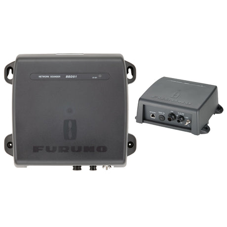
Furuno
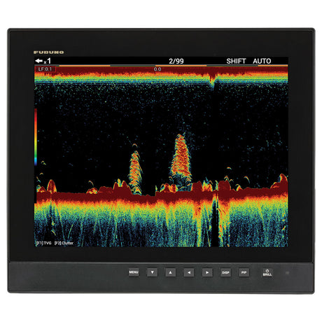
Furuno BBDS1 Black Box Sounder Module
$850.00$977.99Unit price /UnavailableVery low stock (3 units) -
Free shippingUp to $134.99 off
Furuno
Furuno 3.5' Open Array Antenna - XN10A/3.5
$895.00$1,029.99Unit price /UnavailableVery low stock (2 units) -
Free shippingSold out
-
Free shippingUp to $119.99 off
Furuno
Furuno FM4850 Black Box VHF Radio w/GPS, AIS, DSC & Loudhailer
$795.00$914.99Unit price /UnavailableVery low stock (6 units) -
Free shippingSold out
Furuno
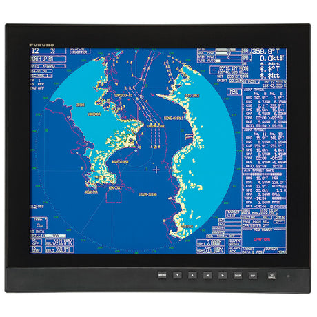
Furuno 1945 6kW 4' Open Array 10.4" Color LCD Radar
$6,995.00$8,044.99Unit price /Unavailable -
Free shippingSold out
-
Free shippingSold out
Furuno
Furuno NavNet TZtouch2 15.6" MFD Chart Plotter/Fish Finder - TZTL15F
$3,795.00$4,364.99Unit price /Unavailable -
Free shippingUp to $209.99 off
Furuno
Furuno SCX20 Satellite Compass - NMEA 2000
$1,395.00$1,604.99Unit price /UnavailableLow stock (11 units) -
Free shippingUp to $389.99 off
Furuno
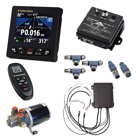
Furuno NavPilot 300 w/Octopus 1.6L Pump - NAVPILOT 300/PG-M
$2,595.00$2,984.99Unit price /UnavailableVery low stock (1 unit)


More Marine - Cartography - Furuno
View all-
Free shippingSold out
Furuno
$268.99$309.99Unit price /Unavailable -
Free shippingSold out
Furuno
$268.99$309.99Unit price /Unavailable -
Free shippingSold out
Furuno
$268.99$309.99Unit price /Unavailable -
Free shippingSold out
Furuno
$524.99$603.99Unit price /Unavailable -
Free shippingSold out
Furuno
$268.99$309.99Unit price /Unavailable -
Free shippingSold out
Furuno
$268.99$309.99Unit price /Unavailable -
Free shippingSold out
Furuno
Furuno MM3-FNA-022 C-MAP Fishing Chart US East Coast & Bahamas *Needs System ID# To Process
$113.99$131.99Unit price /Unavailable -
Free shippingSold out
Furuno
$524.99$603.99Unit price /Unavailable -
Free shippingSold out
Furuno
$268.99$309.99Unit price /Unavailable -
Free shippingSold out
Furuno
$268.99$309.99Unit price /Unavailable


Let customers speak for us

Quick response, will need more products in the near future

I like the simple design. Works well

does the job well

Extremely simple to install and assemble.

Works much better than expected. Bit tricky to maneuver, but does a great job overall.

This is definitely big and heavy but gets the job done. Finally got one, and it paid off after just a few stumps.

looks awesome with lifelike flames, runs all day, every day, and adds style without gobbling up electricity.

It's light, steady, and a blast to use.

Thinking about grabbing a couple more and maybe a solar charging setup.
Works better than expected, and assembly was simple.

Very satisfied with the boat 😊

chipper was easy to assemble and sturdy. exactly what i needed for clearing trees. just wish i had more time to use it!

Met expectations, very satisfied with performance.

Works as expected 🙂
Absolutely fantastic! Turned a mountain of branches into mulch in no time.
